All neighborhood and community construction guides · Custom construction · Renovation services · Homesite diligence
Goat Island area: Construction Decisions That Matter
Goat Island area is a location within Cramerton's river-town setting, associated in the source with Goat Island Park and the greenway. It is not a named promise of waterfront ownership or direct private access to those public spaces. For architectural planning, identify the actual property boundary and the route between the house and its surroundings. A nearby park can be relevant to observed privacy or pedestrian conditions, but those conditions must be checked at the address. The source does not establish building age, housing form or lot size for every property under this area label.
For renovation, study where daily living rooms, bedrooms and outdoor spaces face before deciding whether screening, new glazing or a revised entry would improve use. If a verified public route adjoins the parcel, distinguish owner-controlled landscaping from land outside the boundary. Obtain flood and drainage information where proximity to the South Fork River makes it relevant, without assuming identical exposure across the area. Structural and envelope inspections should precede any deck enclosure or larger opening. Confirm the governing authority and any applicable recorded documents. A well-grounded design can respond to the property's actual relationship with public space while keeping private construction, access rights and river-related obligations clearly separated.
- Does the survey show a public route or park boundary adjoining the property?
- Which observed sightlines should guide bedroom privacy and outdoor-space screening?
- Do the proposed openings or deck changes require structural and river-related review?
The Cramerton Planning Context
Cramerton is presented as a village setting around Goat Island, with Cramer Mountain identified as a separate Gaston County community in the Cramerton area. River and mountain-adjacent topography can make site specifics especially consequential, but no parcel-level flood, slope or access condition should be assumed from the area description. Confirm municipal boundaries, recorded easements and applicable community documents before setting a project scope.
For an existing home, inspect foundations, retaining structures, roof drainage and signs of moisture movement; hillside or river-influenced sites can make water management an early design issue. Additions should be checked against access and usable outdoor space as well as the existing building’s structural capacity. New construction calls for a topographic survey and early engineering input to understand grading, driveway geometry, stormwater flow and buildable area. If a property is in a planned or golf-oriented community, review covenants and design approval procedures. Establish whether any river access or shoreline structure is legally documented rather than presuming it from location. Balance the flexibility of new construction against the earthwork and infrastructure requirements of the specific lot.
From Area Name to a Real Building Site
A corridor, district or nearby-area label describes a search location, not a uniform residential subdivision. Begin by locating the actual parcel and confirming its jurisdiction, access, existing use and surroundings. Traffic patterns, adjoining uses and the relationship between front and rear outdoor space can vary significantly within one broad label. A construction plan should respond to those observations rather than assuming that every address shares one neighborhood pattern.
For a new residence, test orientation, driveway geometry and usable outdoor area alongside the interior plan. A larger footprint can leave less flexibility for privacy planting, drainage and safe access. Where a site is near an active commercial or mixed-use setting, consider how window placement, building orientation and landscape can improve comfort without treating these measures as a guaranteed noise solution. Obtain qualified site-specific advice where the concern affects the investment decision.
Renovation as an Alternative to Replacement
A retained house may offer a useful starting point even when its rooms no longer match the owner's needs. Measure the structure and investigate foundations, roof condition, electrical capacity and mechanical distribution. Compare an interior reconfiguration with an addition and, where feasible and approved, replacement construction. The comparison should include the usable site that remains after work, not just the area inside the walls.
Staging can be as important as design in a settled location. Establish where deliveries and temporary storage can occur without occupying restricted land or obstructing access. For a phased renovation, define how occupied rooms remain separated from work and when essential utilities may need interruption. A scope document should state the retained structure, proposed demolition, new systems and finish work distinctly so that estimates describe the same project.
Approvals, Evidence and the Construction Sequence
For Goat Island area, use the address and parcel identifier to establish which office handles zoning, building review and any environmental or shoreline work. The linked Gaston resources are starting points, not a determination that every property named in the area falls within that office's authority. Municipal exceptions and boundary differences matter. Ask for a written list of the approvals relevant to the proposed scope, then distinguish those requirements from any architectural-review or association process.
A practical sequence is to assemble the survey, ownership and restriction documents, existing drawings and condition investigations; compare concept alternatives; define the retained and new work; coordinate engineering and systems; and prepare the appropriate submittals. Permits and private approvals should be resolved before relying on a start date. Long-lead selections, temporary access and inspection stages belong in the construction plan rather than being left to informal assumptions.
For renovation, record which spaces can remain occupied, how dust and weather protection will work, and how unexpected concealed conditions will be handled. For new construction, establish utility and site-work responsibilities and identify decisions that must be made before foundations or underground systems proceed. Ask estimates to distinguish building work, design services, site conditions and optional outdoor improvements so alternative proposals can be compared honestly.
- What town jurisdiction and recorded community restrictions govern this parcel?
- What survey or engineering work is needed to assess slope, retaining and drainage?
- Are any river access or shoreline rights and structures documented?
- How do access, utilities and the buildable envelope affect renovation or replacement?
Preparing a Useful Goat Island area Project Brief
Bring the property address, survey if available, photographs of existing conditions and a prioritized room or improvement list. Separate essential needs from optional additions. For an existing residence, note known leaks, previous structural changes and any drawings or permits already held. For land, identify known access and utility arrangements without assuming that a listing description proves buildability. A clear brief helps the team identify the right investigation before detailed design.
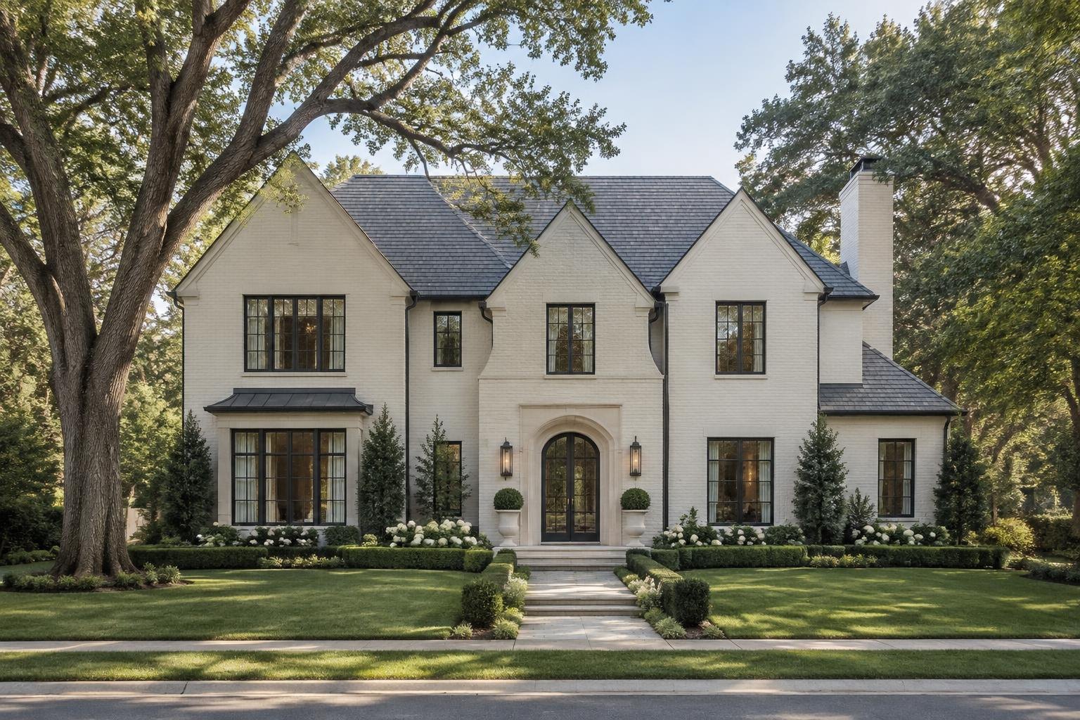
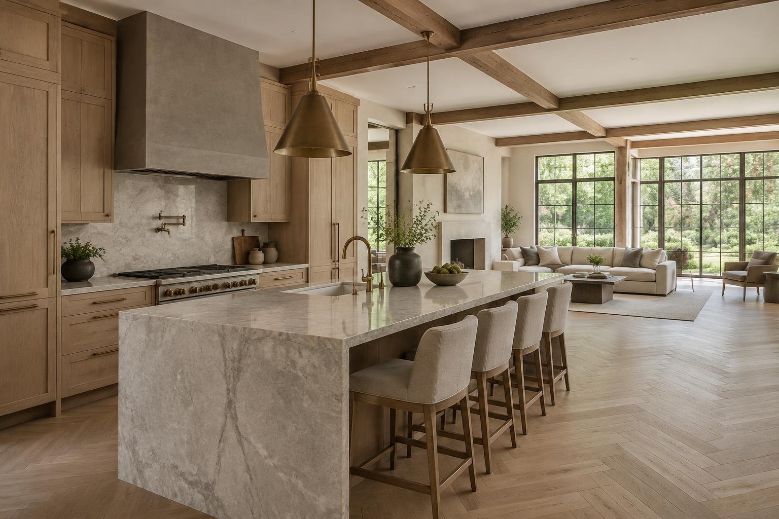
Peters Custom Homes evaluates custom residences and substantial renovations individually. Inclusion of Goat Island area in this guide does not imply a completed local project, a local office, a property for sale or a commitment to accept every scope. Concept images are architectural illustrations rather than site proposals. The useful next step is an address-specific conversation about goals, constraints and whether the project fits the firm's work. Obtain current agency guidance and professional advice before making a purchase or construction decision.
Sources & Property Verification
Community names were inventoried from Charlotte Luxe Living on October 18, 2026. Design ideas are planning considerations, not verified parcel conditions. Public permits, recorded restrictions and association decisions must be checked independently. No local project history, available property, school assignment or approval is implied.
- Charlotte Luxe Living — source community inventory
- Gaston County Building Inspections
- FEMA Flood Map Service Center — verify the specific address